
Key details
Location
Geelong Road, Werribee
Wadawurrung Country
Policy objective
Housing diversity
Development Partner
Melbourne Water
Overview
Riverwalk is a well-established community in Melbourne’s thriving west, which is already home to over 2,500 residents and is located approximately three kilometres from Werribee’s town centre.
Riverwalk is being delivered through a partnership between Melbourne Water and Development Victoria to revitalise what was previously vacant land.
When fully completed, the project will consist of mixed-use development comprising over 2,600 residential homes as well as retail, commercial, employment, education and community spaces.
The former Werribee Satellite Aerodrome is located on the Riverwalk site and is listed on the Victorian Heritage Register for its historical and architectural significance.
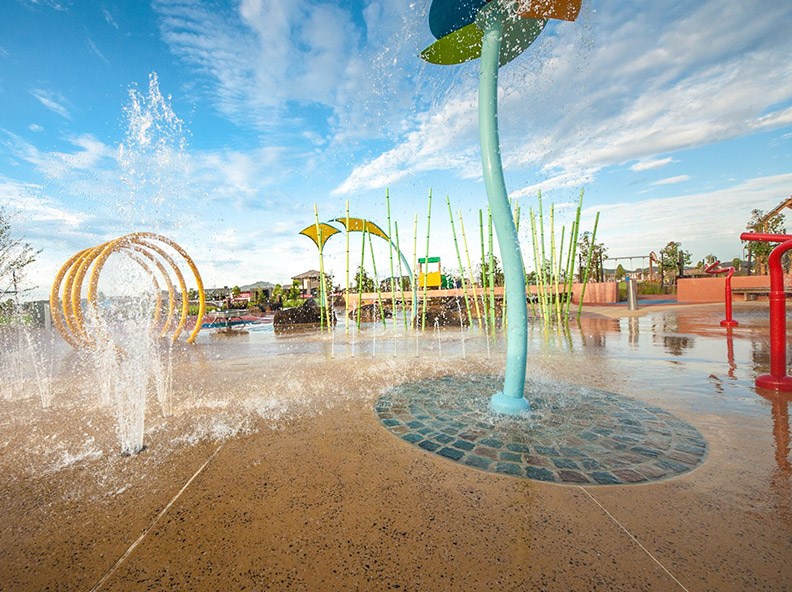
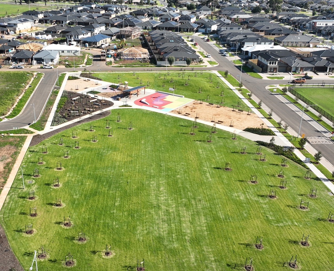
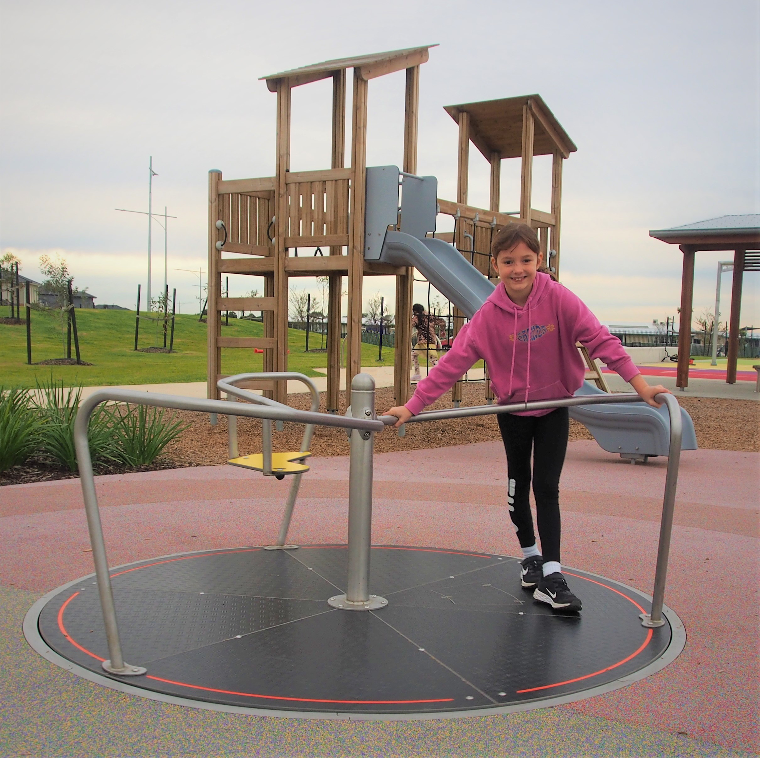
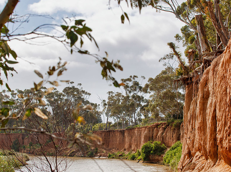
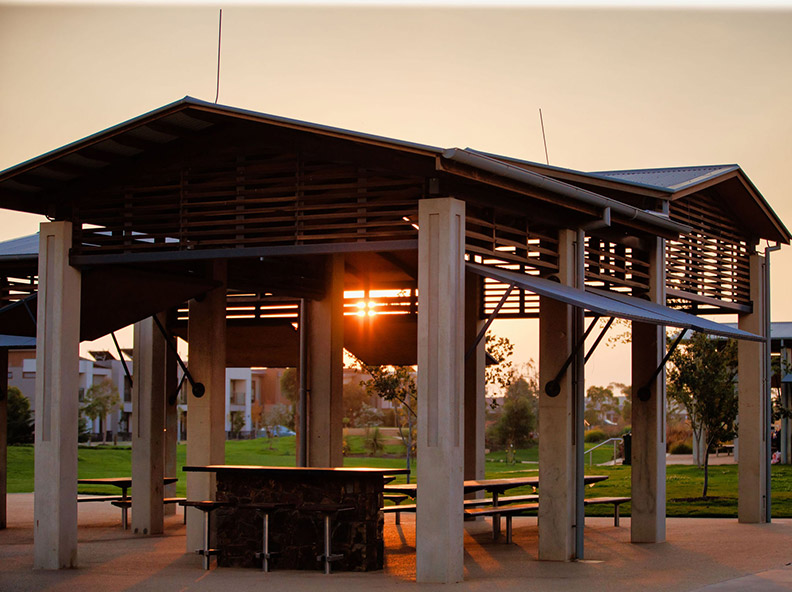
In keeping with its natural setting Riverwalk will deliver 24 hectares of open space, which already includes several new wetlands and parklands, links to the Werribee River and Federation Bike Trail and numerous parks. This includes the 1.4 hectare Village Park - one of Victoria's largest free water play parks - which features a basketball court, water play areas, bike trails and playground and barbeque facilities.
There are plans for a future Riverwalk Town Centre that will feature commercial and retail zoned land at the centre of the site, and a mix of townhouses bordering the site. The commercial zoned land is anticipated to include a supermarket, along with a range of other specialty retail shops and services. Oreana Property Group was successful in purchasing the Town Centre in 2022 and is working on plans to bring the area to life.
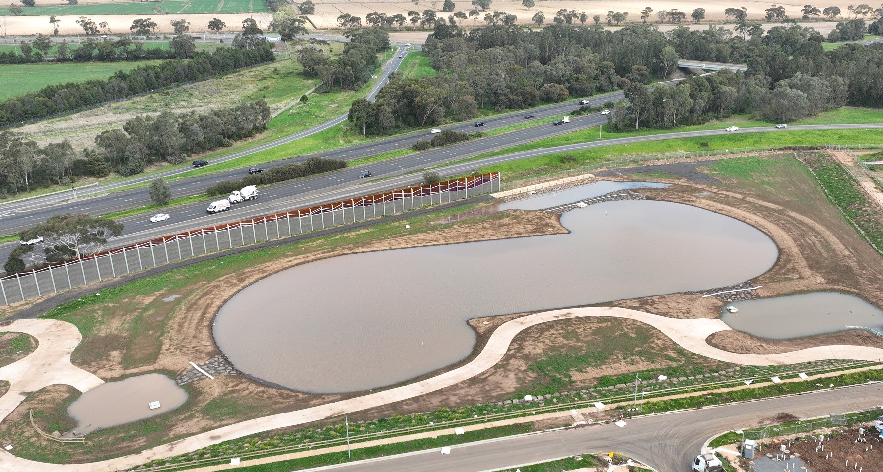

The first stage of an acoustic wall has been installed along the southern boundary of the Riverwalk Estate (bordering the Princes Freeway), with the goal of reducing traffic noise. The design provides an integrated and artistic solution, drawing inspiration from the granite ridges of the You Yangs, which rise above the Werribee Plain, and are visible from the estate. The second section of the wall will commence in early 2024.
For more information about Riverwalk, visit the My Riverwalk website.
197ha project area
$218 million state government investment
2,600 homes (when complete)
24ha open space (when complete)
Timeline
Partnering Deed Executed
Rezoning approved
Wyndham City Council officially approves Development Plan
Village Park opens
Sections 1 and 2 of Coldstream Creek completed
Transfer of a 4.5 hectare sorts oval site to Wyndham City Council
Liberator Park opens
Riverwalk Primary School opens
Northern Wetlands completed
Alfred Road/Princes Highway/ Coldstream Avenue four-way signalised intersection completed
Newmarket Road/Geelong Road Intersection completed
Approx 1,500 land lots created throughout the site since development commenced
Early: Sale of future Town Centre site to Oreana Group to oversee development
Late: Farm Road Intersection Complete
Early: First section of Acoustic Wall (abutting Permit Area 6 subdivision works) completed
Early: Tulsi Ave Park opens
Mid: Carnboon Park opens
Late: Works commence on Town Centre (subject to developer confirming final timing)
Late: Northern Local Park opens
Late: Transfer of Community Centre site to Council
Late: Completion of Airforce Road
Early: Transfer of Community Centre and second active open space area to Council
Mid-Late: Completion of Airforce Road Intersection
Outcomes
Since the project began in 2005 we’ve delivered:
- 1,500 lots
- Planning Permits for 1,700 lots over nine permit areas
- Coldstream Creek and the Northern Wetlands
- New intersections, including Newmarket Road/Geelong Road Intersection
- Relocation and restoration of the heritage listed hangars
- Close to 20ha of open space
- Links to the Werribee River and Federation Bike Trail
- Two active open space/sports ovals
- Transfer of Community Centre and second active open space area to Council
- Four local parks located throughout the development
- Supported delivery of two new schools
- Supporting delivery of a future aged-care facility
- Supporting delivery of a new town centre anticipated to house a full-line supermarket
Approach
The Werribee Treatment Plant - managed by Melbourne Water - was relocated in the late 1990s, leaving vacant a vast area of land on the bank of the Werribee River. Melbourne Water partnered with Development Victoria to unlock the site’s potential. This provided the opportunity to utilise the vacant land to create a new neighbourhood, providing much-needed quality affordable housing opportunities in Melbourne’s thriving west.
Development Victoria prepared the Development Plan for Riverwalk, which involved extensive stakeholder engagement with a strong focus on community development and securing essential community infrastructure. The plan was originally endorsed by Wyndam Council in 2010, then subsequently amended in 2013 and 2022.
The Victorian Government has invested approximately $174 million in Riverwalk to date and is anticipated to invest $350 million throughout the life of the project.
Riverwalk assists in alleviating housing pressures on Melbourne CBD, offering a variety of lot sizes in a well-established community with transport connections into the city.
Sustainability
Riverwalk is an "Enviro Development" certified project - a nationally-recognised achievement from the Urban Development Institute of Australia. The certification recognises outcomes across six areas of sustainability: water, ecosystems, community, waste, materials and energy.
Riverwalk has been designed to enhance its natural surroundings. The number of trees will double by the time the development is complete and wetlands will be enhanced through the project.
The development will incorporate sustainability initiatives in the homes such as recycled water, solar hot water, LED lighting, and minimum 7-star rating with passive solar design.
Riverwalk is a connection of liveable and walkable neighbourhoods. To promote reduced reliance on cars, there will be an ongoing focus on access to employment opportunities, community services, shops, schools and facilities through a network of bicycle and pedestrian trails.
A vegetation management plan is in place and any tree removal will be met by an offset strategy
The project was awarded the EnviroDevelopment 6 leaves certification which was awarded formally to Development Victoria and Melbourne Water on 15 February 2018.
Location
The site is around one kilometre from Werribee Town Centre, and has direct access to Princes Freeway.
Development Victoria acknowledges the Wadawurrung people as the Traditional Custodians of the land.
Who to contact about this project
For further information about Riverwalk, visit the My Riverwalk website, follow the Riverwalk Facebook page or email the project team: Riverwalk.Enquiries@development.vic.gov.au
Latest news
View allView more projects
View allWas this page helpful?
Updated on 20 March 2024